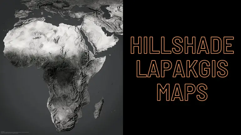
Hillshade Lapakgis Mapping: Enhancing Terrain Visualization for Geographic Analysis Hillshade Lapakgis is a widely used technique in cartography that helps to create a three-dimensional representation of the earth’s surface. This technique simulates the effect of light and shadows on the surface of the terrain, making it easier for cartographers to create visually appealing and accurate […]

